© 2013 Oceanic Imaging Consultants, Inc.

Service + Software for Seafloor Mapping

Interferometric Sidescans / Teledyne Benthos C3D
Sensors Supported:
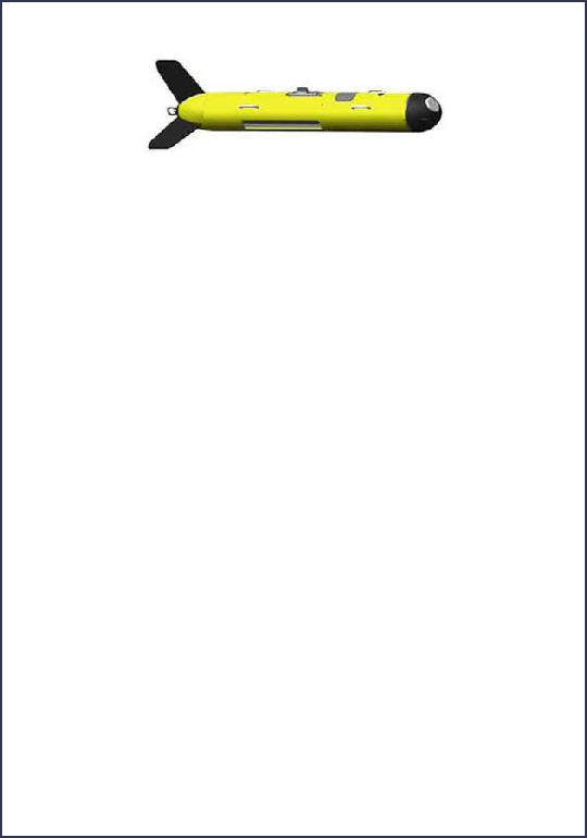
The C3D seafloor mapping system is made by Teledyne Benthos, Inc., of North Falmouth, Massachusetts.
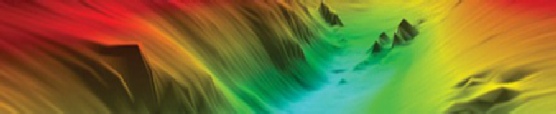
The C3D system produces simultaneous sidescan and high-resolution bathymetry data using the SARA CAATI method of echo arrival angle estimation. SARA CAATI (Small Aperture Range Angle and Computed Angle of Arrival Transient Imaging) is a patented technique licensed to Teledyne Benthos by Simon Frazier University. It is a method for estimating the backscatter arrival spectrum. SARA CAATI uses an angle-of-arrival estimation similar to interferometry.
However, unlike interferometry, the C3D solves the problem of concurrent arrivals from multiple angles. The C3D is available in towed, over-the-side mount and AUV configurations. In the towed version, there are multiple cables and cable lengths available. The standard cable is the 100-meter CAT5 cable for short tows. For longer cable lengths, the addition of a CL-160 ADSL high-speed communications link is required.
OIC supports acquisition of C3D data using GeoDAS-GD and post-acquisition processing via both GeoDAS-Desktop and OIC CleanSweep.