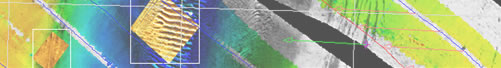
GeoDAS-MB supports acquisition and processing
of bathymetry and backscatter data from multibeam sonars.
GeoDAS-MB
is OIC’s standalone multibeam acquisition software package.
Standard features such as our Survey Management package, easy-to-use
bathymetry processing tools and advanced Event and Target
tracking make the surveying process easier than ever.
Features & Benefits
Simultaneous multi-beam and sidescan logging and display
Serial, Ethernet and analog inputs
Configurable navigation, attitude and environmental inputs
(Tide and S-Vel)
Full motion and attitude compensation, with real-time
latency correction Real-time robust filtering, outlier rejection
Supports profiles, contours, 3-D and digital terrain models
Built-in "Patch-Test" calibration module
Interfaces to the OICToolkit and OICcleansweep for advanced
post-processing.
Logs raw data to HDD, JAZ and Tape in OIC and other formats