Oceanic Imaging Consultants
Home Contact
 
   
Overview
Supported Sensors
Specification Sheet
 
 
Software
Review any OIC product by selecting it from the menu below
 
Devices
Choose from the dropdown menus below to learn about OIC supported sensor types
 

Services
Click on the dropdown menu below to find out more about the services OIC offers.
 
 
Home » Products » Software » GeoDAS-LT
GeoDAS-LT
  OVERVIEW
 
  GeoDAS-LT software is customized for data acquisition and survey management from serial devices such as fathometers, magnetometers and "entry-level" sensors, at a rock-bottom 
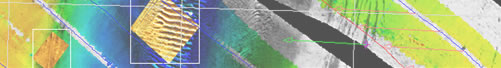
price. The GUI displays real-time views of data and meta-data inputs. Sub-windows display real-time, geocoded swath data, target data, and mosaics as they evolve. Recorded data may then be exported to ASCII or GIS-ready files.
 
  Learn more about GeoDAS-LT
  Download GeoDAS-LT spec sheets