| |
Oceanic Imaging Consultants is focused on creating the best and most easily useable software for hydrographic surveying. While this is our primary focus as a company, we are on occasion, also asked to lend our expertise on actual survey missions.
Since its inception in 1993, OIC has participated in hydrographic surveys and ROV surveys in Hawaii including Kaneohe Bay, The Ala Wai channel, Pearl Harbor and Honolulu Harbor. Our staff has also provided onsite survey support for in the Gulf of Mexico, Juan de Fuca ridge, Tahiti and other sites around the world.
OIC has provided survey management services for a number of clients including Raytheon, NAVOceano, Geoscience Earth and Marine Services, Inc. (GEMS), Science Applications International Corporation ( SAIC), Makai Ocean Engineering and the URS Corporation.
Local surveying takes place on one of our two survey vessels (e.g. The OIC TomCat, shown here) |
| |
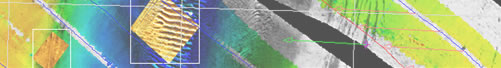
Our in-house equipment includes two survey vessels, bathymetric and sidescan sonars, DGPS, TSS motion sensor, FOG gyro, and the latest hardware and software on board. |